Tassili Hoggar
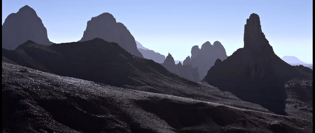
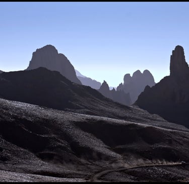
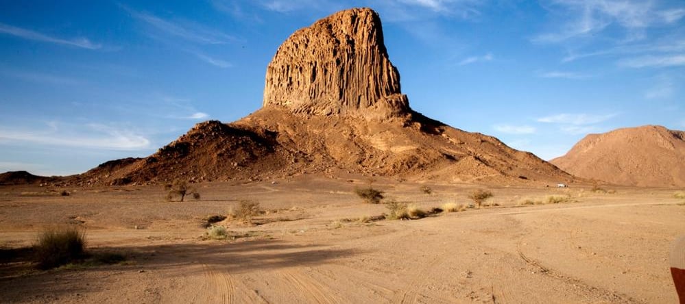
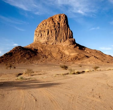
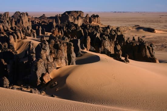
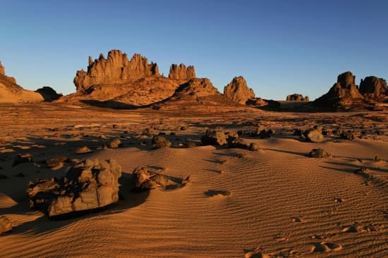
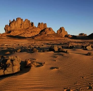
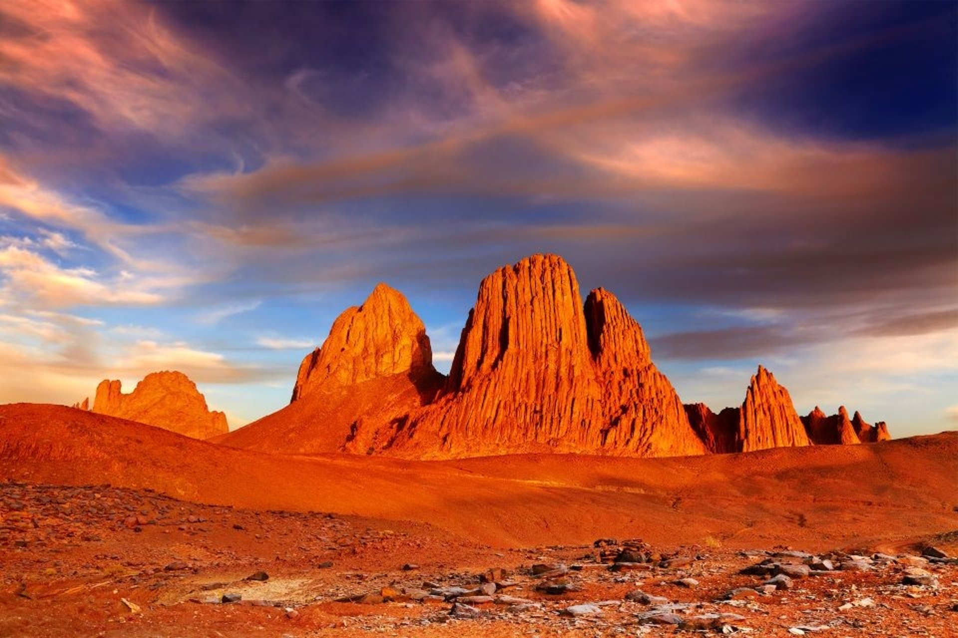
Tassili Hoggar, whose main town is Tamanrasset: Hoggar (Ahaggar in Tamahaq, the Berber language of the Tuaregs) "The Hoggar is the southernmost part of the Algerian Sahara. It covers an area of 480,000 km². Tamanrasset, its administrative capital, lies 2,000 km south of Algiers (by road). The Hoggar is bounded to the north by the Tidikelt and Touat (In Salah is 700 km from Tamanrasset), to the east by the Tassili n'Ajjer (Djanet is 700 km away), to the south by Niger (Agadès is 900 km away), and to the south-west by Mali (Kidal is 840 km away). To the west, the Hoggar is bordered by the Tanezrouft, while the Ténéré marks its southeastern limit. The Algerian-Nigerian border lies 430 km south of Tamanrasset, at In Guezzam. The Hoggar is an ancient massif of stepped plateaus of granite and gneiss, dominated by ridges or pitons. The highest part, Koudiat, above Tamanrasset, is a dismantled volcanic massif of basaltic flows and strange peaks (Tahat reaches 2,918 m). The massif is bordered by the escarpments and plateaus of the Tassili. Less arid than the rest of the desert due to its altitude, it is inhabited by the Kel Ahaggar, the most famous of the Tuareg. Mining research has revealed the presence of uranium and precious metals.